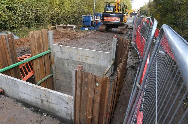
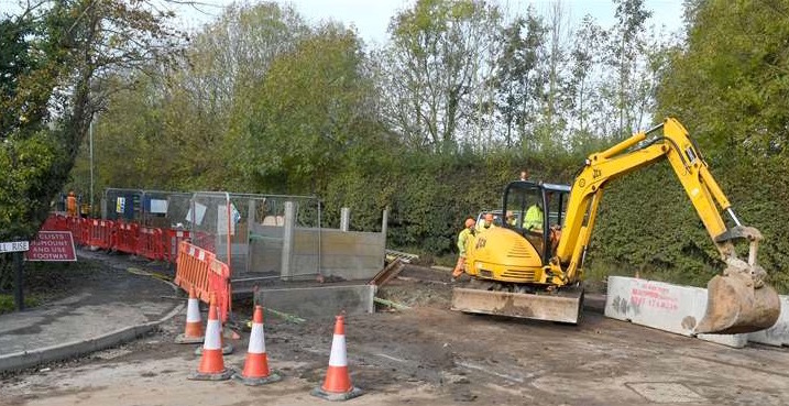
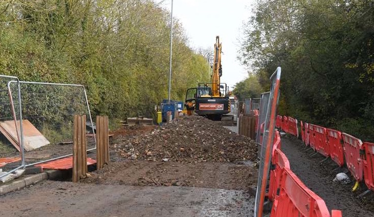
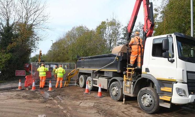
Halam Road has been closed as construction works to prevent flooding in a town begins.
The addition of five super gullies on Halam Road, Southwell, is to avoid a repeat of the torrents of water that flooded the town in 2013.
It is part of the cross-council funded Southwell Flood Alleviation Scheme that aims to protect 240 properties and 60 businesses.
The large-scale £4.3m project has been sourced by a number of organisations.
Funding has come from a Central Government flood defence grant (£2.87m); local levy (£300,000); the county council (£600,000); the district council (£220,000); Southwell Town Council (£120,000); Southwell Flood Forum (£25,000); and DEFRA Repair and Renew Grant (£233,000).
A district council spokesman said it has also committed money from its capital programme.
“The district council has committed £453,421 in its capital programme for the Southwell scheme, but as of yet has not paid anything,” they said.
“The council is expecting to make its contribution next year.”
Natural flood management in over 20 locations in the upper reaches of the Southwell catchment is being put in place.
This approach is designed to stop the flow of water naturally and will be completed by March 2020.
Engineering works are to be undertaken by Via East Midlands which involves regular checks on which properties benefit from the prevention project.
This phase of the scheme is due to be completed by March 2021.
The initiative is also to provide bespoke solutions to homes that do not benefit from the initiative, including proposals to instal flood doors, airbrick covers and flood barriers.
Bruce Laughton, a district and county councillor, was involved in securing the funding for the flood scheme and said it will be an essential part of the town’s wellbeing.
“It is a really good news story for the town and that the council’s are all for Southwell,” said Mr Laughton.
“This is a part of the several million pound scheme which comes after the 2013 events and recent flooding in the town.
“Construction will take place in Southwell for a year and the gullies are massive — there are five of them.
“It will move from Halam Road road down to the trail and works will be undertaken there as part of the next phase.
“Many residents don’t understand at the moment what we are doing because of the Allenby Road housing development next door on the junction of Halam Road.
“There are hundreds of communities across the country who need this flood defence, so we need to applaud everyone involved including the flood forum and all councils.”
Gary Wood, group manager for highways and transport at the county council, said it was working with partner agencies to protect 240 homes and 60 businesses in Southwell from flooding through flood mitigation schemes and natural flood risk management initiatives.
“Teams from Via East Midlands are installing five super gullies in Halam Road,” he said.
“These are an effective low-maintenance and high capacity solution to rapidly remove water from highways which are prone to flooding and are a first for Nottinghamshire.
“We are committed to protecting homes in Southwell from flooding and anticipate all the elements of our proposals to be complete by Spring 2021.”