
Welcome to Southwell Flood Forum
- Are you affected/threatened by flooding in Southwell?
- Do you want to be kept informed of public meetings to discuss follow-up action – within local community and with agencies/authorities? You can sign up using the form below.
- Are you interested in helping to make Southwell and its residents more flood resilient?
- Are you interested in finding out more information about resources available for flood damage reparation and suggested action in the event of a possible recurrence?
“Flood Action Groups are a representative voice for their community and their aim is to work in partnership with the Agencies and Authorities whose work involves flood risk.
– the National Flood Forum (www.nationalfloodforum.org.uk)
Through these ‘grass-root’ groups, communities are able to;
- address their concerns over malfunctioning assets/and other issues
- be constantly in touch with what is intended for their community
- know procedures that are already in place regards routine maintenance
- have a voice as to the future flood risk of their community through consultation.
- Instigate ‘flood watchers’
- Create awareness of flood risk to the wider community
- Prepare to reduce the impact on the community should a flood event occur”
The extensive flooding on Tuesday 23rd July 2013 highlighted the need for a Southwell Flood Forum.
Plans for a Southwell Flood Forum were underway and was effectively launched on 6th August 2013 following a follow-up programme on BBC East Midlands Today news.
Read more about Southwell Flood Forum here…
Southwell Flood Forum map – see guidelines here
This map is in collaboration with Lowdham FLAG
The map opens up centred on Southwell.
Click on the layers icon  then click the ‘eye’ icon on or off to view different layers.
There are generic layers such as IDB area, Land Registry parcels, EA flood risk areas .
Southwell-specific layers contain information about flood risk mitigation, natural flood management, SUDS, watercourses etc. Click on a feature and there will be a description and in some cases, photos.
It is being updated as the environment changes with new developments/infrastructure. It aims to provide useful information for the residents of Southwell, people considering moving to Southwell and developers/planners.
Lowdham FLAG gauges – local river level gauges
This Southwell weather forecast is generated by the Met Office Weather Widget
Met office – Weather forecast – includes the facility to ‘Report Severe Weather’ feature from your location
You can download the Met Office app to your phone here
Also see other weather websites in Resources
River level – Shoothill river gauge on River Greet (use search function) or follow on Twitter or visit Gov.uk flood warning website
EA Rainfall gauge – Averham gauge 3603, Epperstone gauge 3773
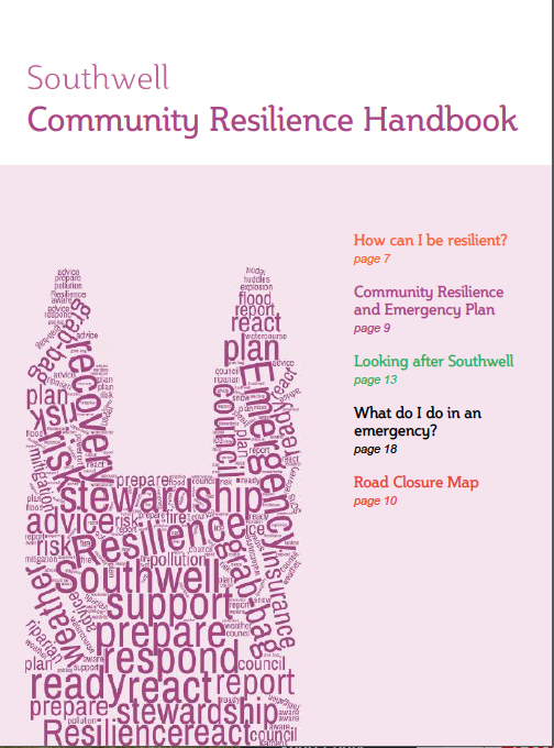
You can download our Southwell Community Resilience Handbook (click link)
This is the updated SFF CR Magazine – road closure map September 2019
In an emergency
In a personal emergency you would need phone the appropriate emergency service on 999.to
During any emergency that is likely to impact on part of the whole of town for at least a few hours, the Emergency Communications Hub will set up by Southwell Town Councillors and members of Southwell Flood Forum to co-ordinate action receive calls from residents and liaise with emergency services, responsible authorities and the media