
The planning application for the final major flood mitigation work under the Southwell Flood Alleviation Scheme is now live. This follows months – actually years – of detailed surveys, research, technical engineering design work and consultations to create a bund on Potwell Dyke to help protect properties from the Potwell overtopping. There were many environmental issues to consider given the location and nature of the site.
Local interested stakeholder groups will be consulted again as they were during the design stage.
Members of the public may inspect copies of the application, plans and other documents submitted with it online at www.nottinghamshire.gov.uk/planningsearch/plandisp.aspx?AppNo=ES/4375
Details of the application can also be inspected at Nottinghamshire County Council, Development Management, County Hall, West Bridgford, Nottingham, NG2 7QP and Castle House, Great North Road, Newark, Nottingham, NG24 1BY during normal office hours but you are advised to contact the case officer David Marsh on 0115 9932574 before you travel to County Hall.
Anyone who wishes to make comments should by 11th February, email development.management@nottscc.gov.uk or write to NCC at County Hall.
It won’t appear on the NSDC portal as Nottinghamshire County Council is the determining planning authority in this instance.
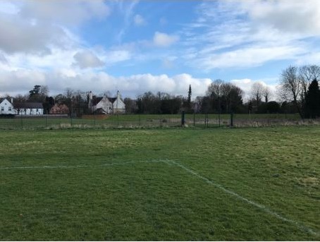
There are diagrams of the bund, cross sections, photomontages and explanation of the works.
To help navigate through the documents, here is a selection….
Chapter C – Site and Scheme description
Chapter F – Biodiversity and Arboriculture plus Appendix F6 and F7
Appendix C2 – Layout and cross sections
Appendix E3 – Landscape proposals
Appendix C3 – Penstock control valve
Appendix E4 – Photomontages/Viewpoint
https://www.nottinghamshire.gov.uk/…/planning…. You are invited to comment by 11th February. Residents ‘downstream’ who suffered flooding from Potwell Dyke in 2013 welcome this long-awaited project which is the result of years of planning, design and consultation with interested neighbours and users of the relevant area.