After the Flood Alert on 8th January 2014

Posted
Event:
Category:
Tagged:

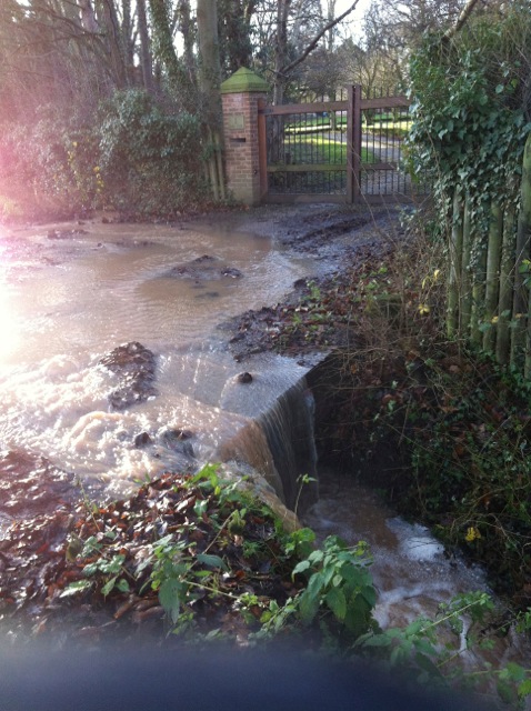
Springfield Dumble beside Nottingham Road where Park Lane water joins it

Surface water draining into gullies at bottom of Park Lane

Trench cut through verge at bottom of Park Lane to prevent water running onto Nottingham Road.

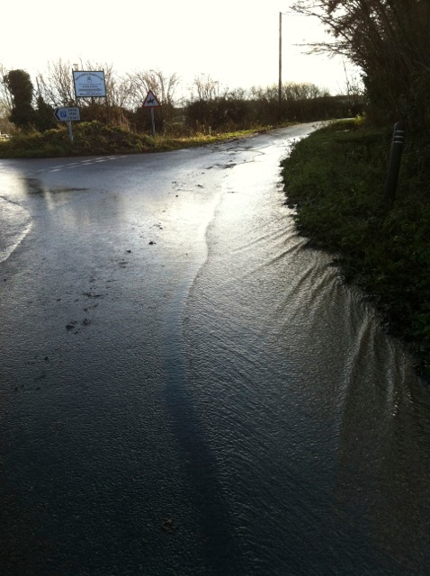
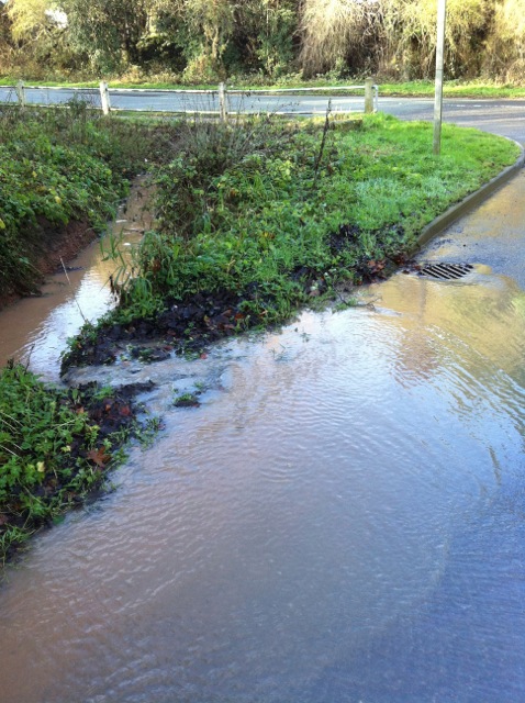
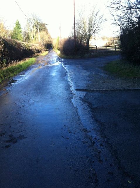
Surface water at junction with road from car park off Park Lane

Water backed up beyond field access bridge on right before No 1 Park Lane

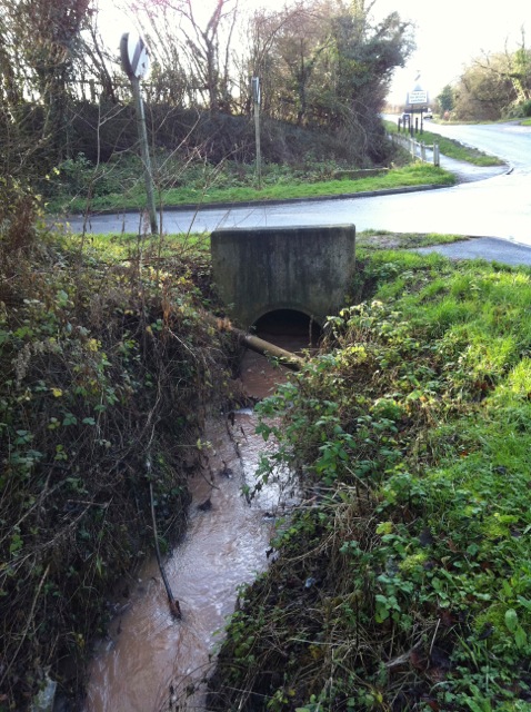
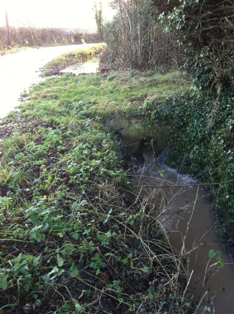
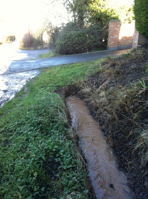
Culvert under access bridge to No 1 Park Lane

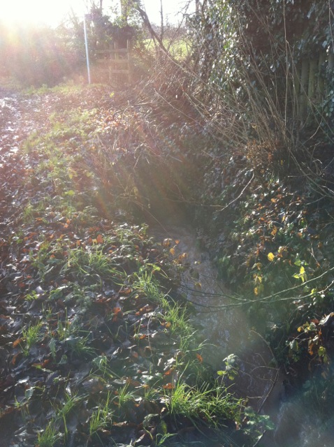
Upstream of access bridge to No 1 Park Lane 2

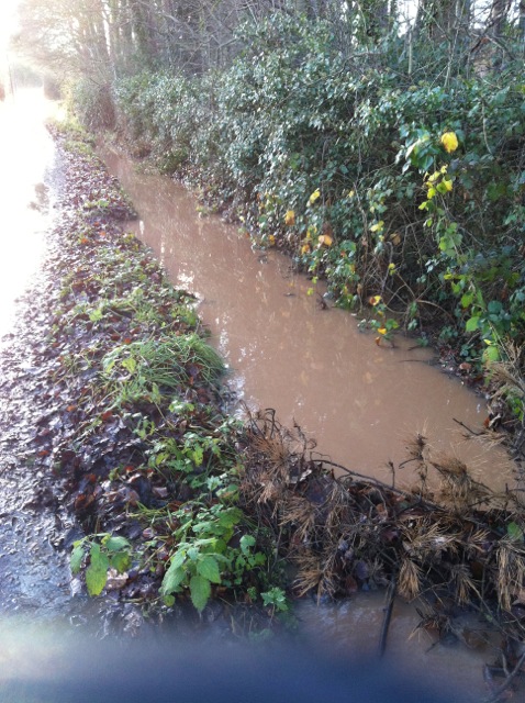
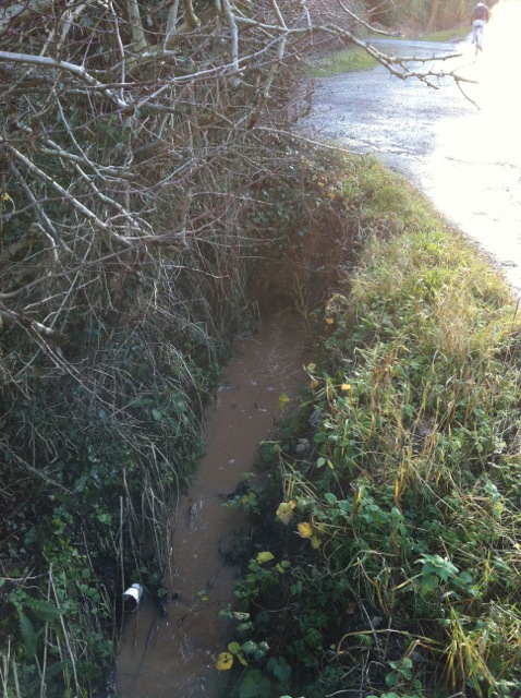
Full ditch between N01 Park Lane and public footpath4

Water flowing from confluence of ditches on both sides of  Park Lane and rumble beside public footpath
Water flowing from confluence of ditches on both sides of Park Lane and rumble beside public footpath

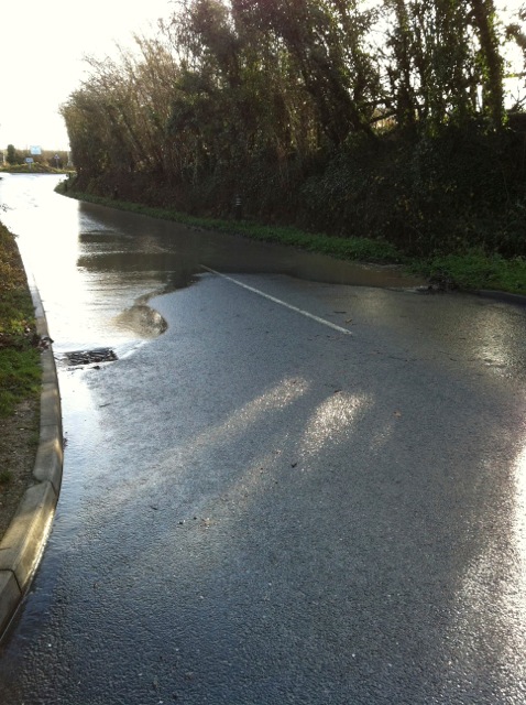
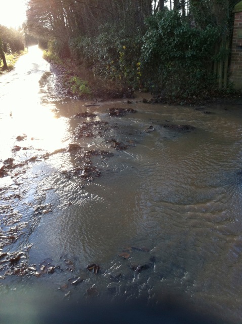
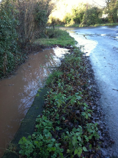
Surface water on Park Lane beside public footpath

The Old Golf House, Park Lane and ditch from Home Farm, Brackenhurst

Entrance to SRUFC on right and surface water looking downhill on Park Lane

Ditch downstream of SRUFC entrance Park Lane

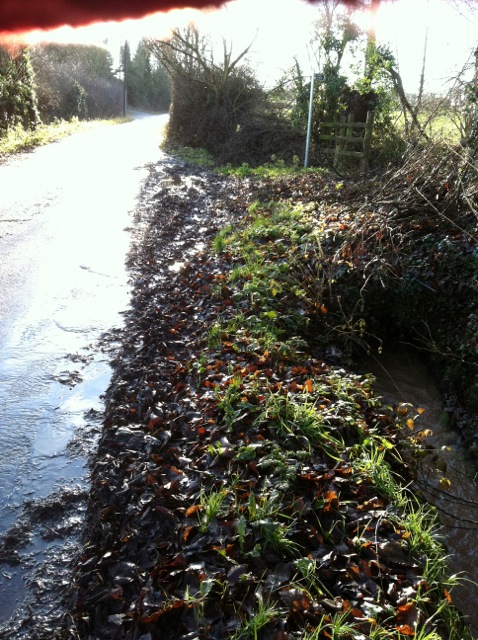
Looking downhill Park Lane to field access bridge